
The Lehman Creek Trail in Nevada’s Great Basin National Park serves a unique purpose.
During the summer, most visitors simply drive the Wheeler Peak Scenic Drive to access the park’s higher elevations, alpine lakes, ancient bristlecone pines, and Nevada’s only glacier. But during spring, late fall, and parts of winter when the road is closed for the season, the Lehman Creek Trail becomes the only way up.
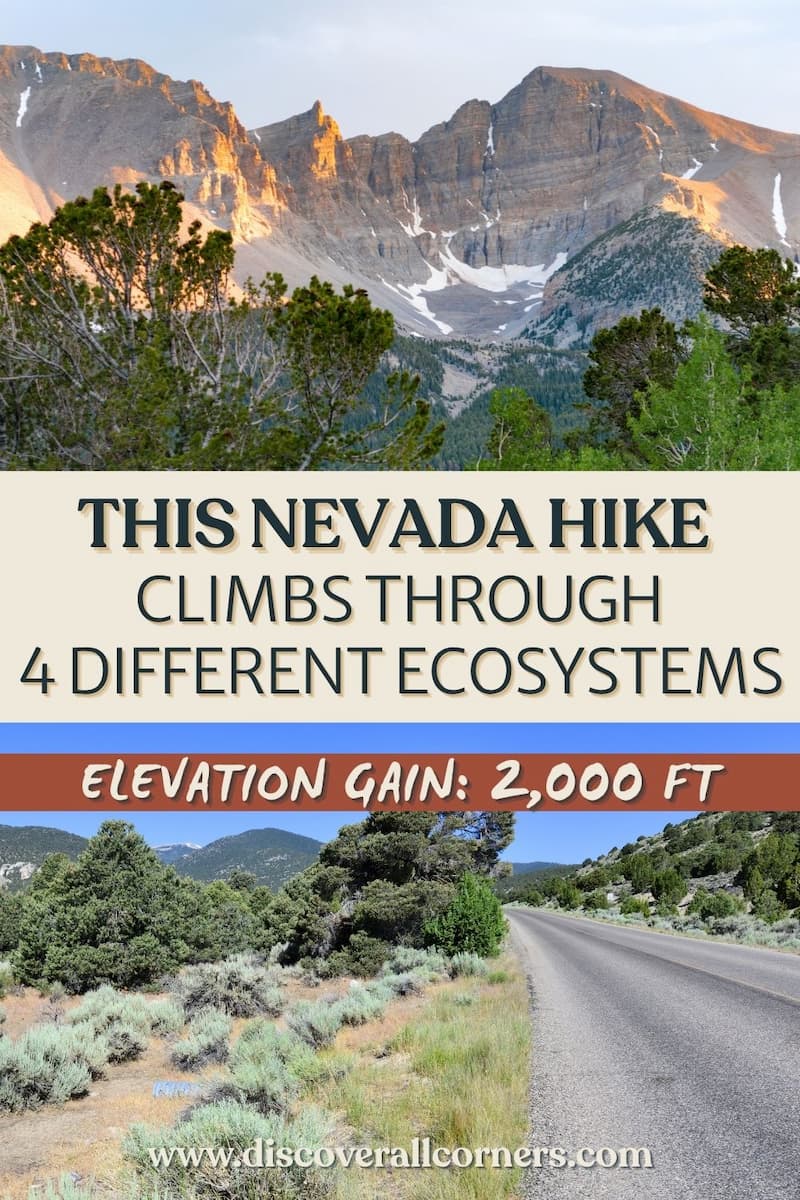
And if that sounds plain and ordinary, believe me, it’s not. The trail passes through several distinct ecosystems and rewards hikers with increasingly impressive views of Wheeler Peak and Doso Doyabi along the way, all while gaining over 2,000 feet.
We hiked it with our kids in early May while the scenic drive was still closed.
Was it the toughest hike we’ve done with our kids?
Absolutely.
Was it worth every step?
Every single one.
👉 Planning to hike the Lehman Creek Trail? Here’s what to expect, how to prepare, when to go, and what you’ll find along the way.
Trail overview
Distance: 6.8 miles round trip
Type: Out-and-back
Difficulty: Strenuous
Elevation Gain: ~2,050 feet
Time: 4–6 hours
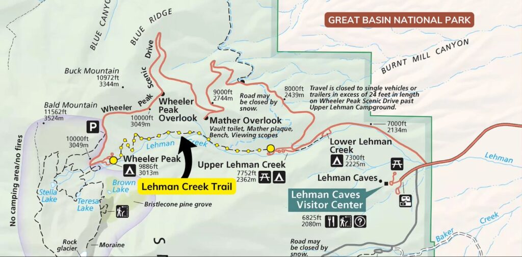
Trailhead: (1) Upper Lehman Creek Campground; (2) Wheeler Peak area
Dog-friendly: No (service animals only)
Park Entrance Fee: No
The Lehman Creek Trail connects two points in the park at vastly different elevations:
- The lower end: Upper Lehman Creek Campground (7,750 feet)
- The upper end: Wheeler Peak area / end of the Wheeler Peak Scenic Drive (~9,800 feet)
Most hikers tackle it as a 6.8-mile out-and-back hike from the lower trailhead at Upper Lehman Creek Campground. When the scenic drive is open (typically Memorial Day through Labor Day), it can also be hiked one-way if you arrange transportation between trailheads, since no shuttle service is available.
How hard is the Lehman Creek Trail?
The challenge comes almost entirely from the elevation gain.
From its lower trailhead, the trail gains more than 2,000 feet over 3.4 miles, topping out at nearly 10,000 feet above sea level. And while the grade is generally reasonable, there are very few truly flat sections to catch your breath.
The final mile is the steepest part of the hike, and because you’re pushing deep into high-alpine territory, the thinning air ensures the climb feels significantly harder than the mileage alone suggests.
Best seasons to hike the Lehman Creek Trail
The trail is open year-round, but conditions vary dramatically depending on the season.
Late spring (May-June)
- Wildflowers begin appearing at lower elevations
- Snow often remains near the upper trailhead and throughout the Wheeler Peak area
Summer (July-September)
- Easiest hiking conditions
- Afternoon thunderstorms are common
Fall (September-October)
- Cooler temperatures
- Fall color may be visible in some areas
- Generally excellent hiking conditions before winter weather arrives
Winter and early spring
- Deep snow is likely
- Snowshoes may be needed
- Trail can become difficult to follow
What to expect on the trail
We hiked the Lehman Creek Trail in early May while staying at the Upper Lehman Creek Campground. Since the Wheeler Peak Scenic Drive was still closed, this trail provided the only access to the Wheeler Peak area. We didn’t know if we would make it all the way to the top, but we at least had to try!
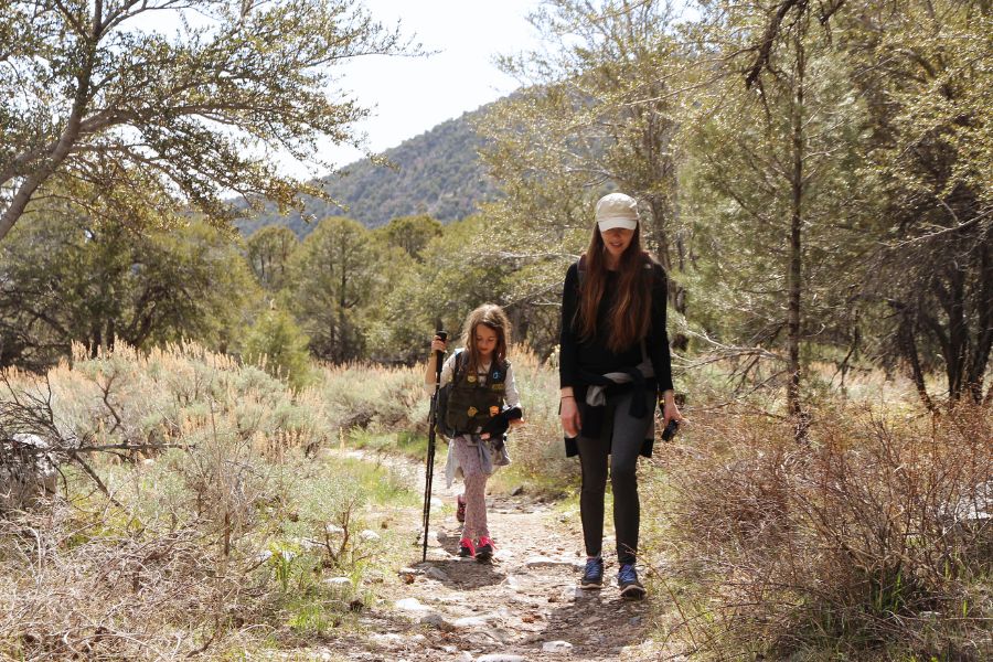
The trailhead is conveniently located just steps from the campground’s northern edge, throwing you into an immediate climb. The initial segment passes through a lush pinyon-juniper woodland, with patches of fragrant sagebrush, twisted junipers, and pops of bright yellow wildflowers lining the path and Lehman Creek babbling along, sometimes close enough that you can easily step off the path to dip your fingers in the freezing water.
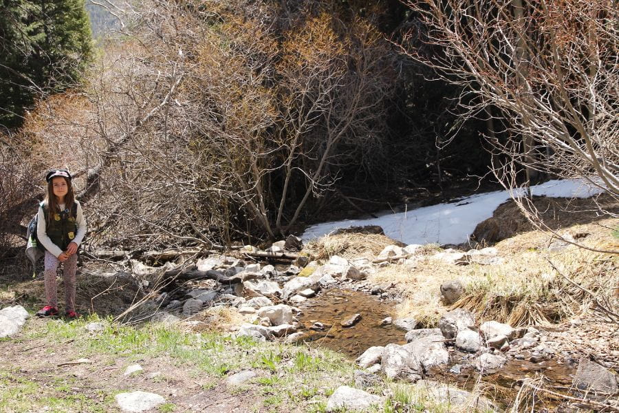
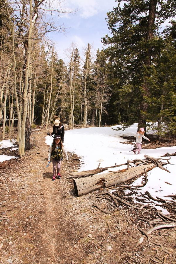
About 0.6 miles into the hike, you’ll cross the historic Osceola Ditch, an 18-mile water channel built by miners in the 1880s to supply nearby gold mining operations. The forest begins to thicken shortly after. During our early May hike, this was also where we started encountering the first patches of snow in the shaded sections of the trail.
At around 1.7 miles from the trailhead, which is roughly the hike’s halfway mark, the forest suddenly opens into a broad, sage-covered meadow with outstanding views of Wheeler Peak and Doso Doyabi, Nevada’s second- and third-highest mountains. The rich, fragrant scent of wild sagebrush lingers in the crisp alpine air, framing a spectacular backdrop as you gaze up at the giant summits.
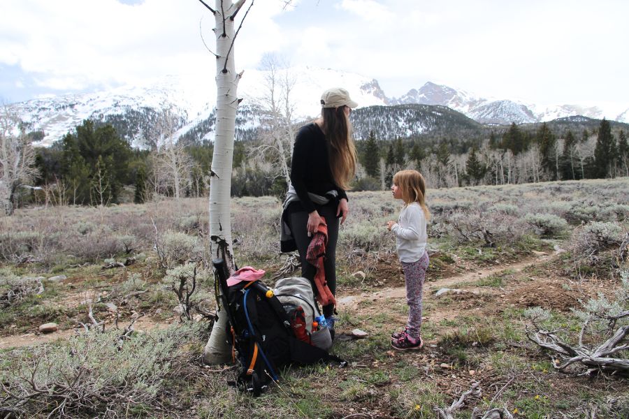
For us, this was the turning point of the hike. After a long climb through the trees, seeing the high peaks ahead made every step thus far feel worthwhile.
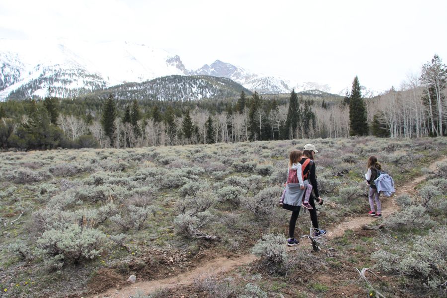
Beyond the meadow, the trail re-enters the forest and continues climbing steadily toward the Wheeler Peak area (the end of the scenic drive when open).
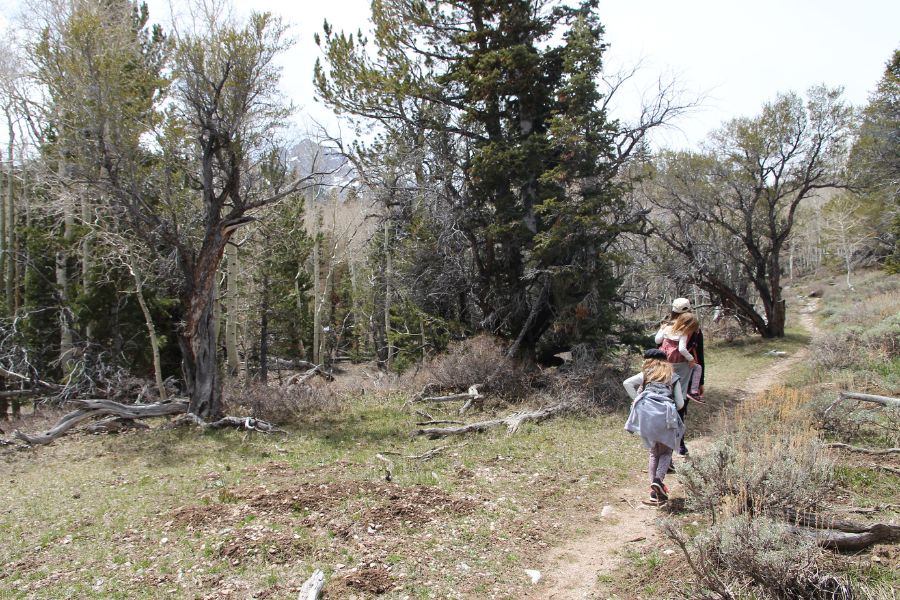
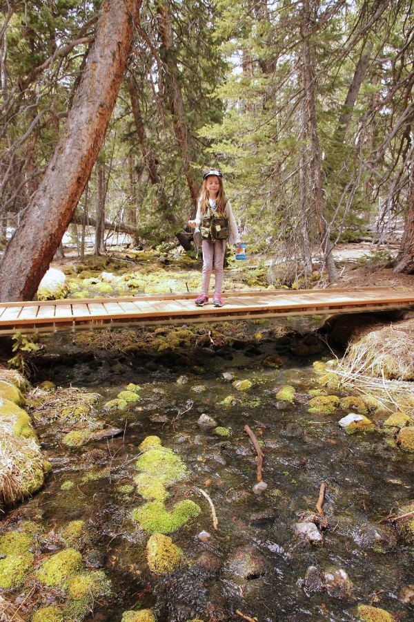
As we gained elevation, the snow became deeper and more frequent, especially in shaded areas. We all kept wondering how much snow we’d find at the top… if we even made it that far. Curiosity alone became a surprisingly effective motivator to keep pushing onward!
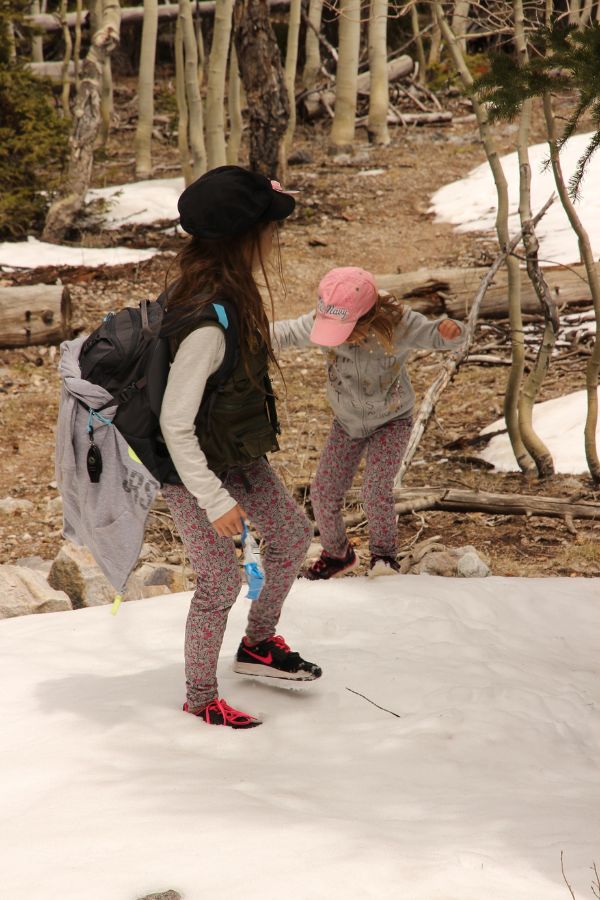
The final mile is the steepest section of the hike, with several sharp switchbacks leading to the upper trailhead near Wheeler Peak Campground at nearly 10,000 feet. Because these bends were heavily shaded, they were packed with deep snow and slick ice. I slipped toward the edge just enough times to convince myself to pack the camera safely away, which is why I don’t have any photos of this stretch.
Finally, reaching the upper trailhead comes with an unexpected reward: close-up views of Wheeler Peak and Nevada’s only glacier. I was completely flabbergasted by the sheer closeness of the dramatic, snow-capped peaks looming right in front of us, easily earning the hike a perfect 5 out of 5 stars for just these views alone!
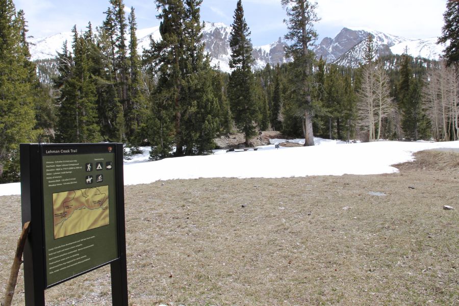
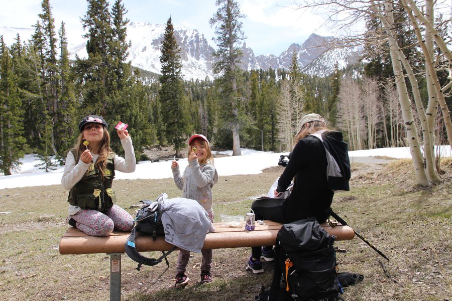
This stunning viewpoint marks the end of the hike, unless you decide to explore the high-alpine area further. Once you have soaked in the scenery, return by the same route, all downhill, to the lower trailhead at the Upper Lehman Creek Campground.
As for the late spring snow, conditions ended up being much more manageable than we expected. We encountered a few icy and slushy sections, along with some deeper pockets beginning around the midpoint of the trail, but we never needed traction devices or snowshoes. The deepest snow remained across the Wheeler Peak area, though there were still plenty of dry areas around Wheeler Peak Campground for a snack break and Junior Ranger activity book completion.
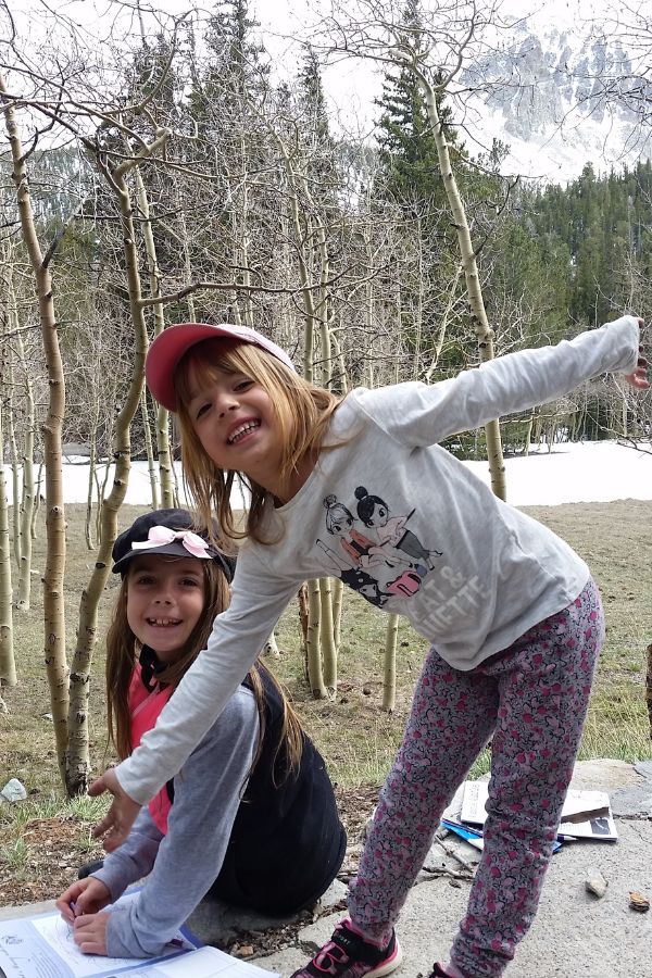
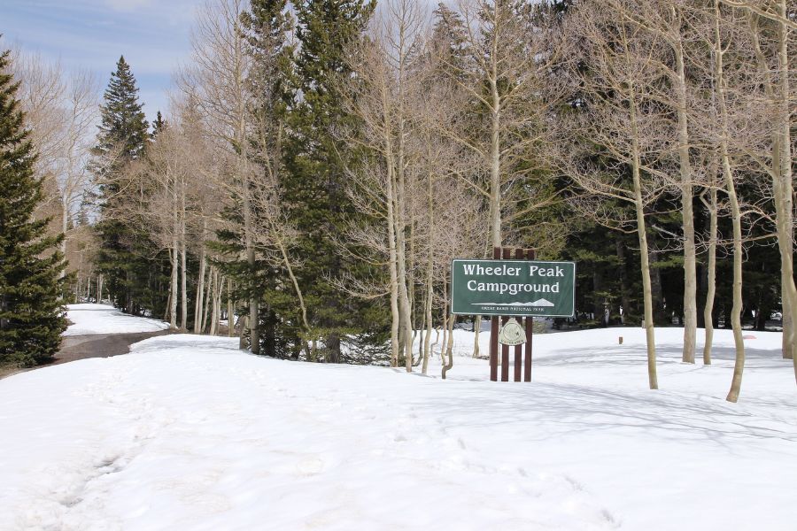
Because it was early in the season and the trail was the only way of getting up here, we had the entire Wheeler Peak area completely to ourselves. In fact, over our six full hours on the trail, we only encountered four other hikers. How’s that for true mountain solitude?
Want a closer look at trail conditions, views, and what the hike is actually like? Watch our hike on the Lehman Creek Trail below.
Hiking the Lehman Creek Trail with kids
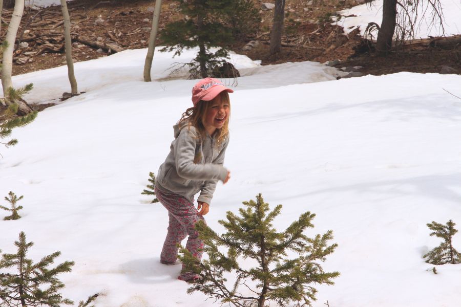
We completed this hike with our kids in about six hours total (four hours going up, and close to 2 hours on the descent), including plenty of snack breaks, wildlife spotting, creek explorations, and inspections of approximately every fifth rock on the trail.
The trail itself isn’t dangerous or particularly technical, but the elevation gain is relentless. Younger hikers who are comfortable covering longer distances and taking their time should do fine, but this is definitely not an easy family stroll.
Despite the challenge, this hike ended up being one of our favorite memories from Great Basin National Park!
Optional extra hikes to add
The Wheeler Peak area at the end of the hike is honestly one of the biggest surprises in Great Basin National Park. After climbing through desert vegetation for much of the day, reaching an alpine landscape and close-up views of Nevada’s second- and third-highest peaks as well as an actual glacier will naturally feel surreal.
If you have energy left, this spectacular high-elevation hub serves as the perfect launching pad for deeper mountain explorations. Several popular trails branch off from the Wheeler Peak area, offering access to alpine lakes, ancient bristlecone pines, and Nevada’s only glacier.
- Bristlecone Pine Grove Trail (2.8 miles) – One of the area’s highlights, this trail passes through a grove of ancient bristlecone pines, some of the oldest living trees on Earth!
- Glacier Trail (4.8 miles) – Continuing beyond the bristlecones leads toward Nevada’s only glacier and the dramatic glacial cirque below Wheeler Peak.
- Alpine Lakes Loop Trail (2.7 miles) – This trail loops around Stella and Teresa Lakes, two alpine lakes tucked beneath the park’s highest peaks.
Just KEEP IN MIND that conditions can be very different up here than they are lower in the park near the trailhead. Even when the valleys are warm and snow-free, lingering snow can still cover portions of the trails surrounding Wheeler Peak well into late spring and early summer.
On this early May hike we weren’t able to access any higher trails from the general Wheeler Peak area due to deep snow cover, but Filip didn’t take nature’s seasonal closures for an answer and embarked on a quick solo trip toward Teresa Lake nonetheless, while the kids and I claimed a dry patch at the empty, snowed-in campground so they could work on their Junior Ranger books. As it turned out, snow conditions deteriorated quickly beyond the campground area, with frequent knee-deep drifts. He only made it to the alpine lake by luck, eventually spotting a set of footprints forming a faint social trail through the snow.
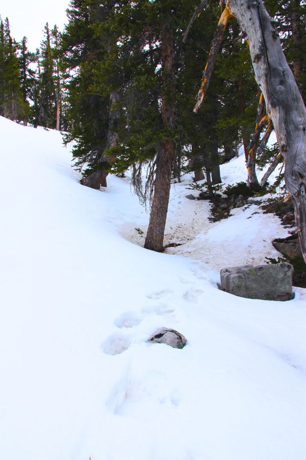
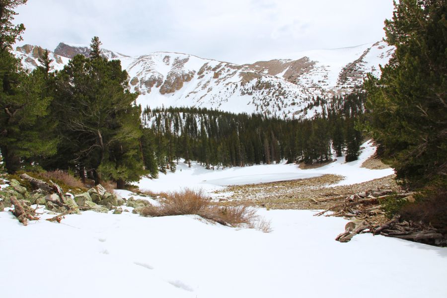
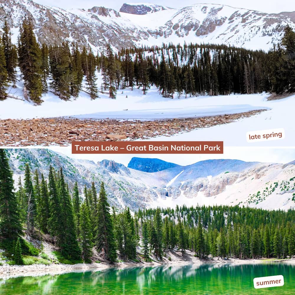
From winter through early summer, the Great Basin alpine lakes are on the smaller side since the majority of the water in them comes from snowmelt, so your experience will depend largely on when you visit. Below is a direct side-by-side comparison of Teresa Lake, showing how it transforms from a compact icy pool in late spring into an emerald oasis in summer:
Wildlife on the trail
Wildlife sightings on the Lehman Creek Trail can include mule deer, wild turkeys, and a variety of birds. We also spotted several garter snakes (harmless) along the way near the lower sections of the trail.
Black bears are rare but possible in Great Basin National Park, and mountain lions can also roam the area, though sightings are uncommon.
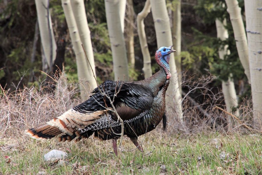
There is a hilarious story behind the wild turkeys roaming Great Basin National Park… As it turns out, these birds are not actually native to the area. Decades ago, a hunting group introduced them down in the valley near Baker. However, someone accidentally acquired the wrong subspecies. Instead of staying in the flat lowlands as intended, these mountain-loving birds immediately marched up into the hills. The moment they crossed the national park boundary, they became protected by federal law, and they have been happily thriving there ever since!
Directions and parking
The Lehman Creek Trail is located in Great Basin National Park, right near the tiny gateway town of Baker, Nevada. To get here, it takes approximately 4.5 hours of driving from Las Vegas or just under 4 hours from Salt Lake City.
Lower trailhead
The primary trailhead is located inside the park near the upper end of Upper Lehman Creek Campground. If you’re not camping at this campground or elsewhere in the park (here are more camping spots to consider), you’ll take NV 488 west from Baker, turn onto the lower section of the Wheeler Peak Scenic Drive just past the park entrance, and follow it up to the campground. Drive through the campground; the trailhead sits just past the picnic area on the right side of the road. There is a small parking lot at the trailhead, and overflow or winter parking might be available at the pullout across from the campground entrance (if open).
⛺ Hiker tip:
Not staying at Upper Lehman? Check out my comprehensive Great Basin Camping Guide to find the perfect alternative campsite for your trip!
Upper trailhead
The upper trailhead is located at the end of the Wheeler Peak Scenic Drive (open seasonally), along the eastern edge of Wheeler Peak Campground. To get here, you would park at the main lot and walk approximately 0.4 miles to the trailhead through the campground. (Please note that vehicles longer than 24 feet are not permitted on the Scenic Drive beyond the Upper Lehman Creek Campground.)
Lehman Creek Trail tips
Bring more water than you think you’ll need
This hike gains more than 2,000 feet of elevation and offers very little relief from the climb. Bring plenty of water and salty snacks, especially during warmer months. Potable water is available year-round at the Lehman Caves Visitor Center and seasonally at Upper Lehman Creek Campground.
Watch for altitude sickness
The trail climbs from approximately 7,750 feet to nearly 10,000 feet. Headaches, nausea, dizziness, and unusual fatigue can be signs of altitude sickness. If symptoms worsen, descend immediately.
Prepare for rapid weather changes
Conditions can change surprisingly quickly in Great Basin. Afternoon thunderstorms are common during summer, while snow and ice may linger well into spring at higher elevations. Also, sun exposure is more extreme at higher altitudes, so be sure to bring a hat and sunscreen.
Wear proper footwear
Sturdy hiking shoes are strongly recommended. Trekking poles can also be helpful, particularly on the descent when tired legs meet 2,000 feet of downhill.
Know before you go
- Pit toilets available at Upper Lehman Creek Campground
- No hiking permit required
- Sign trail register if available
- Check current park conditions before your visit
Don’t miss Lehman Caves
Last but not least, if you’re visiting Great Basin National Park, don’t skip Lehman Caves! Cave tours are one of the park’s most popular activities and frequently sell out during summer weekends. If visiting between late spring and early fall, it’s best to reserve your tour as early as possible.

Hi, I’m Marketa!
Mom of two, Malinois wrangler, and the voice behind this blog. I share places worth the detour across the U.S., from remote backroads to favorite Chicago-area finds. Always chasing good views, great memories, and dog-friendly stops. More about us →


