
The Capitol Gorge Trail in Capitol Reef National Park packs a surprising mix of history, scenery, and just enough adventure to make you forget how intense the Utah sun can get. Well… almost. When we hiked it, it was late May, and I’m not exaggerating when I say the canyon felt like an oven. With much of the trail exposed, we were baking within minutes. Still, it’s one of those hikes that keeps you curious around every bend.
This hike is a Capitol Reef classic. It’s easy enough for families, yet packed with the kind of scenery that makes this park unforgettable.
Capitol Gorge Trail: Quick facts
Type: Out-and-back
Distance: 2 miles round trip + optional extra 0.4 miles
Difficulty: Easy/Moderate
Time: 1–3 hours
Trailhead: End of Capitol Reef Scenic Drive
Dog-friendly: No (service dogs only)
Fee: Yes (Capitol Reef Scenic Drive fee)
Services: Vault toilets + covered picnic area at the trailhead
Getting there: The drive to the trailhead
Short version: STUNNING.
To reach the Capitol Gorge Trailhead, you’ll follow the Capitol Reef Scenic Drive, a paved road that starts at the Capitol Reef Visitor Center. After about 8 miles, the pavement ends and the road becomes Capitol Gorge Road, a 2-mile graded dirt road that leads straight to the trailhead at the very end.
Park fees
There is a National Park fee for the Capitol Reef Scenic Drive, collected at a self-service booth just past the Fruita Campground (cash only) or at the Visitor Center. (There is no entrance fee for the park itself, and many areas are free to visit.)
The dirt stretch is usually in good shape and accessible for most vehicles. According to the park, anything under 27 feet should be fine. No 4WD or high clearance is needed, though wider vehicles may need a little patience on a few tighter turns.
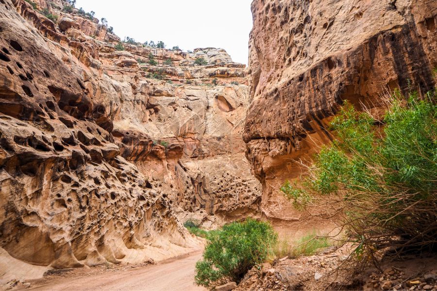
National park scenic drives usually deliver, but Capitol Gorge Road is on another level, making this drive one of the absolute must-dos in Capitol Reef! Towering canyon walls, dramatic rock layers, and the quiet of the desert are the kind of scenery that stays with you long after you leave.

Trail description
The Capitol Gorge Trail is an easy, family-friendly hike that works well even for beginners. With mostly flat terrain and clearly defined path, it’s accessible to a wide range of hikers. The only real challenge comes from walking through soft sand, so be sure to wear comfortable shoes.
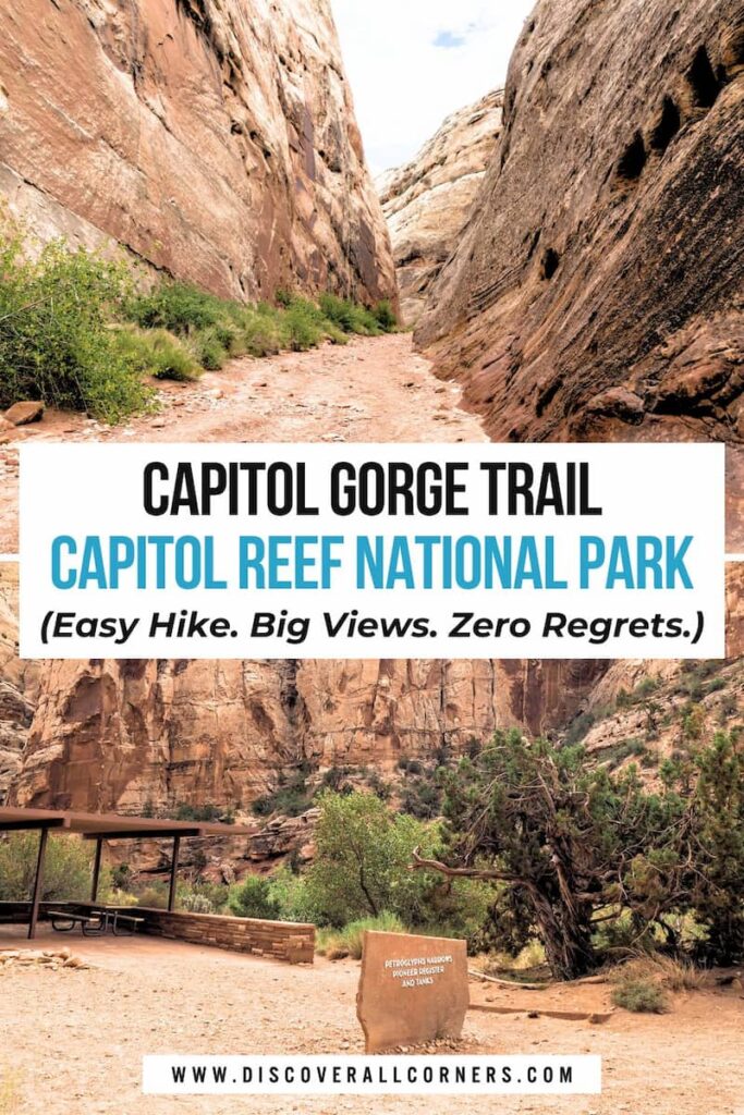
Starting in a sandy wash framed by massive canyon walls, the first half-mile is arguably the most rewarding. Towering rock faces, excellent views, and notable landmarks make this stretch stand out, including ancient petroglyphs and the Pioneer Register, where early Mormon pioneers carved their historic inscriptions. Many hikers reach this point and turn back — though the trail continues if you want to see more.
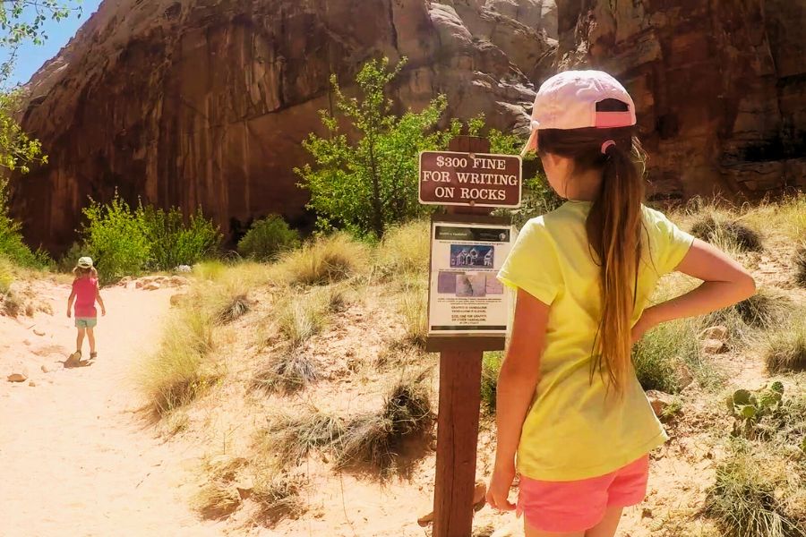

Petroglyphs | ~0.25 miles in
- Located at the widest part of the canyon.
- The trail skirts the left side of the gorge — stay on the trail to spot them.
- They’re faint — take your time.
Pioneer Register | ~0.5 miles in
- Found shortly after the petroglyph panel.
- Hundreds of historic inscriptions carved by early pioneers in the late 1800s–early 1900s.
- Look high on the canyon walls, mainly on the left-hand side (some names were carved from very precarious positions!).
- Take your time scanning; they’re easy to miss if you’re not paying attention.

Why are there names on the canyon walls?
Until 1962, this route was the only way through Capitol Gorge and across the Waterpocket Fold. Some travelers passing through etched their names into the soft sandstone at this spot, and many more added theirs later, unintentionally creating one of the park’s most unusual historical records.
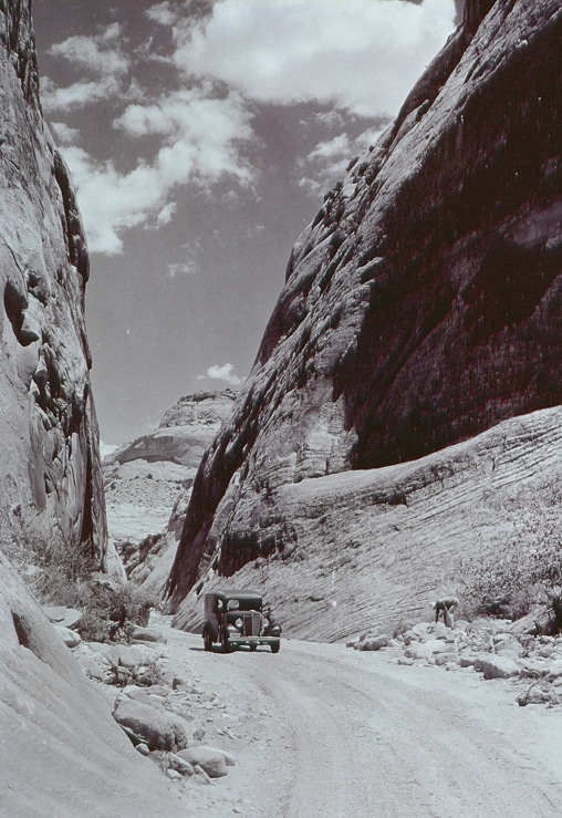
As you continue, the canyon narrows and the walls recede.


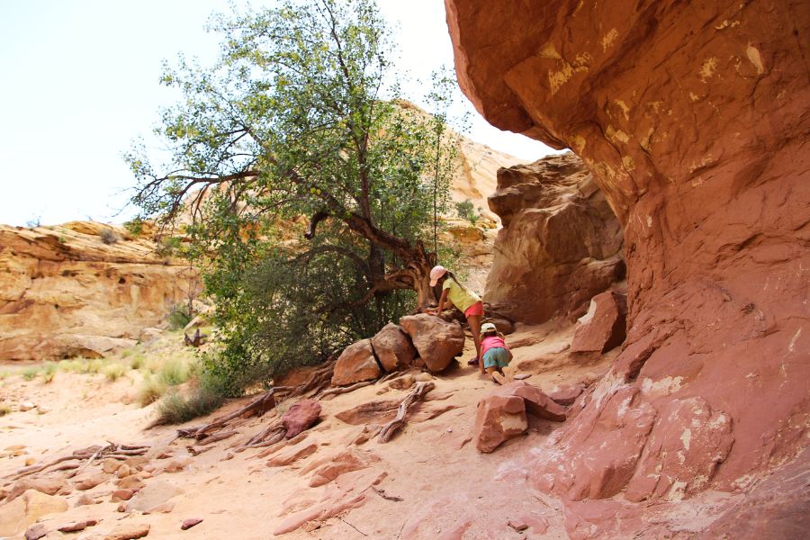

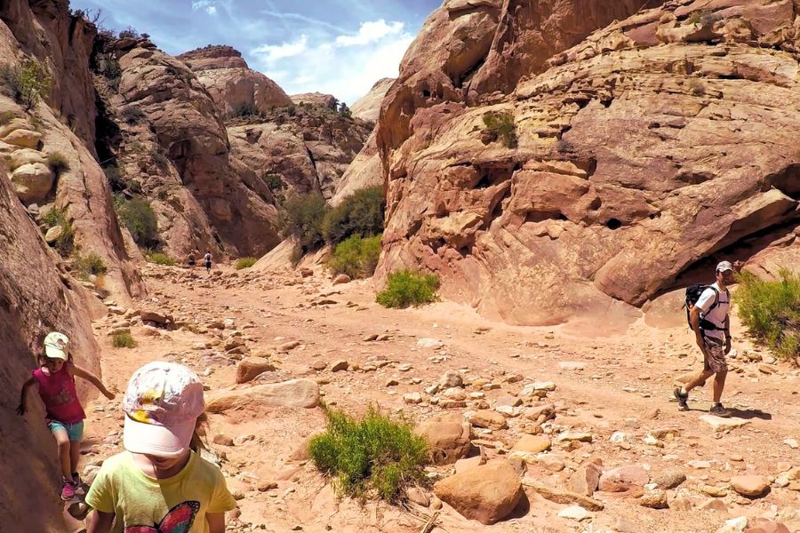
Along the way, you may spot other remnants of the past, like old metal rods sticking out of the canyon walls. These are the remains of an early 1900s telephone line that once ran down the gorge.

By about a mile in, you’ll reach the sign marking the Spur to the Tanks, the unofficial turnaround point for the hike. From here, you can:
- return to the trailhead
- take the short side trail to the Tanks — a series of small waterpockets
- continue further down the wash (it fades out)
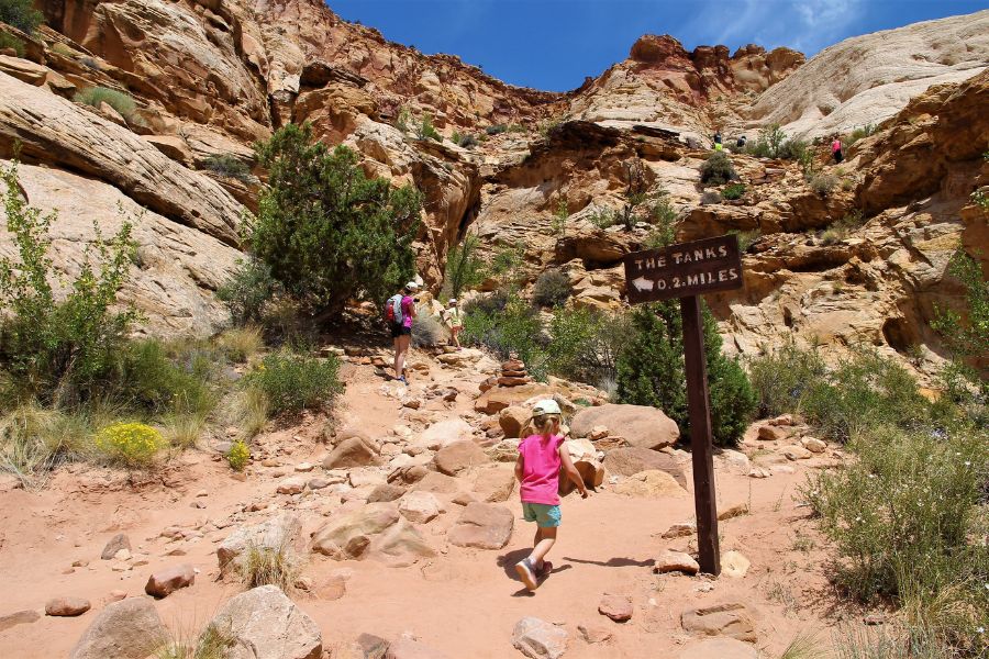
Spur to the Tanks
The Tanks is a short trail (0.2 mi) leading to natural water basins (AKA water tanks, often just called waterpockets), which are shallow rainwater reservoirs eroded into the rock.
Hot day + water = no brainer, and adding a little adventure to this otherwise mellow hike seemed like a great idea, so of course we went for it.
OUR BAD.
This short side trail to the water tanks is surprisingly challenging. Expect steep, slippery slickrock and scramble-heavy switchbacks. Cairns are meant to mark the route, but past a certain point there are none visible at all, likely because loose rock is everywhere and nothing stands out.
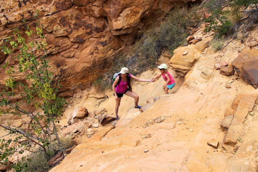
We weren’t the only ones struggling. About a dozen other hikers were scouring the slickrock alongside us. But we were on a mission, so while others bailed, we kept pushing and eventually found the Tanks.
BONE DRY.
I mean, OK, one of them had a tiny puddle of murky water… with worms or something sliding across the bottom. Definitely not the oasis we imagined.
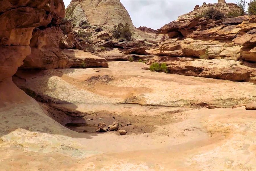

So, was the spur trail to the Tanks worth it? Probably not if you’re expecting water. But the climb is a solid workout, and you do get some great views from the higher vantage points along the trail.
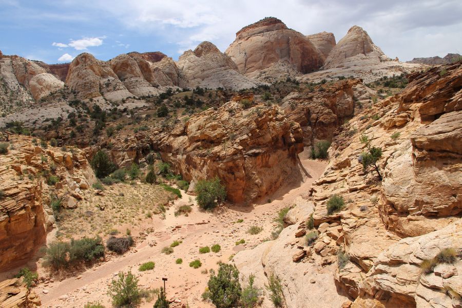
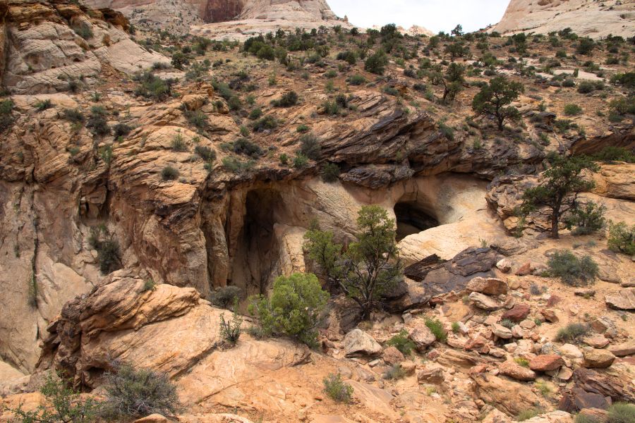
Capitol Gorge Trail at a glance
- Family-friendly hike
- Capitol Reef must-do (together with this hike)
- Stunning drive to the trailhead
- Historic points of interest
- Easy terrain (except the spur to the Tanks)
- Mostly exposed (bring sun protection)
- High-use trail
- Small parking lot (fills quickly)
- Best times: early morning or late afternoon
- Carry plenty of water
If you’re looking for a short, easy hike in Capitol Reef National Park with incredible scenery, deep history, and a stunning drive to get there, the Capitol Gorge Trail won’t disappoint. It’s similar in character to the nearby Grand Wash Trail a little further back on the Scenic Drive (which shares a trailhead with Cassidy Arch) — but that one doesn’t have the historic pioneer signatures.
Safety note:
Capitol Gorge may look calm and sun-baked most days, but it is a flash-flood zone. Even storms miles away can funnel water straight through these narrow washes. Before heading out, double-check the forecast and the park’s alerts. A clear sky overhead doesn’t always mean you’re in the clear.
If you’re planning a trip to Capitol Reef National Park, don’t miss these additional resources:
- Our Favorite Hikes in Capitol Reef National Park
- Cohab Canyon Trail: A Hidden Gem in the Heart of Capitol Reef National Park
- Fascinating Facts About Capitol Reef National Park
- Capitol Reef’s Fruita Campground: Pros & Cons
- Where to Stay If the Capitol Reef Fruita Campground Is Full
- Dog-Friendly Things to Do in Capitol Reef National Park


Hi, I’m Marketa!
Mom of two, Malinois wrangler, and the voice behind this blog. I share places worth the detour across the U.S., from remote backroads to favorite Chicago-area finds. Always chasing good views, great memories, and dog-friendly stops. More about us →


