
If you’re planning a trip to Capitol Reef National Park and want to wake up to those red rock views, camping is absolutely the way to go. The catch is that Fruita Campground, the park’s only developed campground, books up fast. And honestly, it deserves the hype. You can see exactly why in the full Fruita Campground guide here.
The good news is, if those sites are already gone, you still have solid options nearby. There are developed campgrounds with amenities, RV parks with full hookups, and free primitive sites both inside and just outside the park, all within an easy drive of the Visitor Center and historic orchards. So grab your tent or your camper keys, and let’s find the right basecamp for your Capitol Reef trip.
Quick navigation:
- Things to know about Capitol Reef National Park camping
- Fee-based campgrounds nearby
- Best RV parks near Capitol Reef National Park
- Free camping in/near Capitol Reef National Park
- Map
Things to know about Capitol Reef National Park camping
Distance & elevation:
Most options listed below are within 30 miles of the Capitol Reef Visitor Center and Fruita Historic District, the central area of the park.
Elevations vary: the park ranges from 4,000–9,000 ft, the nearby town of Torrey sits at nearly 7,000 ft, and Fruita Campground, the main campground in the park, is at 5,500 ft.
Seasonality & temperatures:
Fruita Campground is open year-round, but daytime highs hover just above freezing from November through March, with overnight temps dropping below freezing in winter. Most local campgrounds close for the winter, while all featured free dispersed sites are available year-round.
The best time to camp in Capitol Reef is late spring through fall, though summer highs can reach the 90s–100s. December–January are generally the coldest months.
Map:
A custom map with pins for each campground is included at the end of this post, or you can view it here.
Fee-based campgrounds nearby
If the Fruita Campground is full, several developed campgrounds near Capitol Reef National Park offer convenient access, amenities, and beautiful views. Most are under a 30-minute drive from the park, with paved or well-maintained roads and a variety of site sizes. Maximum stay: 16 days/15 nights.

Near Bicknell: West of Capitol Reef National Park
Sunglow Campground
- Elevation: 7,200 ft
- Distance: 20 miles
- Open: May–September
- Sites: 6 single, 2 group | Reservation information
- Fee: $20/night
- Amenities: Potable water, flush toilets, picnic tables, fire rings
- Pets: Leashed pets allowed
Sunglow Campground, a small U.S. Forest Service campground just west of Capitol Reef National Park, sits along US Highway 24 about 2 miles from Bicknell, UT. Surrounded by red rock cliffs and desert vegetation, the sites feel private, but shade is limited. Large trailers and RVs are welcome, with a spacious parking area that can accommodate oversized vehicles and easy access via a paved road. Roads and parking spurs within the campground are gravel. There are no hookups or garbage service.
GPS: 38.3421, -111.5189
Along Utah State Highway 12
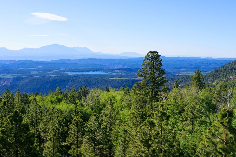
The following four campgrounds are all U.S. Forest Service sites along the famous Utah State Highway 12 (Scenic Byway 12), south of the Capitol Reef Visitor Center. Unlike the Sunglow’s desert landscape, these sit in cooler national forest zones filled with ponderosa pine and aspen trees.
Singletree Campground
- Elevation: 8,250 ft
- Distance: 22 miles
- Open: May–September
- Sites: 31 single, 2 group | Reservations available for some sites
- Fee: $25/night
- Amenities: Potable water, flush toilets, picnic tables, fire rings, volleyball court, horseshoe pits
- Pets: Leashed pets allowed
Singletree Campground is the largest campground in the area. It offers spacious sites and easy access to the 1-mile Singletree Falls Trail. RVs fit well, and roads and parking spurs are paved. There are no hookups, but a dump station is available on-site. Trash collection may not be available.
GPS: 38.1613, -111.3325
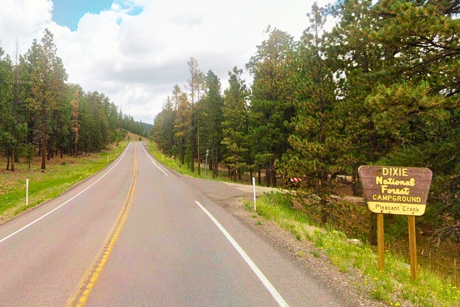
Upper & Lower Pleasant Creek Campgrounds
- Elevation: 8,600 ft
- Distance: 27 miles
- Open: May–mid October
- Sites: Upper 12, Lower 5 | First-come, first-served
- Fee: Seasonal rates (~$20/night; fees are posted on the information kiosk at each campground)
- Amenities: Water (until first frost), vault toilets, picnic tables, fire rings
- Pets: Leashed pets allowed
Tucked into a mixed forest near the western faces of the Waterpocket Fold, these small campgrounds are in close proximity of each other.
Upper Pleasant Creek Campground is located about 5 miles past Singletree Campground and includes sites both tucked into the forest and closer to the highway. While a few sites sit near the road, the scenic drive sees little traffic at night, so noise levels are generally low. Lower Pleasant Creek Campground follows immediately after. It’s smaller and sits even closer to the highway. RVs over 25 feet are not recommended at either campground due to tighter site spacing. Roads are paved, sites feel rustic, and garbage pickup may not be available.
GPS (Upper): 38.1022, -111.3365 | (Lower): 38.1000, -111.3369
Oak Creek Campground
- Elevation: 8,800 ft
- Distance: 28 miles
- Open: May–September
- Sites: 8 single, 1 double | Some tent sites are reservable
- Fee: $20/night
- Amenities: Water (until first frost), vault toilets, picnic tables, fire rings
- Pets: Leashed pets allowed
A small, quiet, forest campground just one mile past the Lower Pleasant Creek Campground, ideal for tents or trailers under 20 ft. Oak Creek Campground sites #6-9 are tent only sites and are the only reservable sites at this campground. Trash collection may not be available.
GPS: 38.0890, -111.3421
RV parks near Capitol Reef National Park
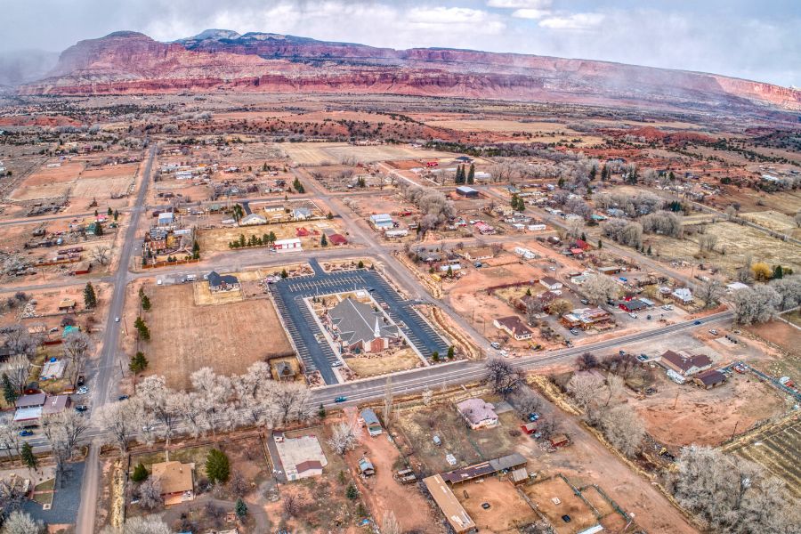
If you’re traveling in a larger rig or want full hookups, the nearby town of Torrey offers several RV parks within 12 miles of the park:
- Wonderland RV Park – often considered Capitol Reef’s best RV park, with friendly staff and easy access to the park entrance.
- Sand Creek RV Park – smaller and simple but walkable to local stores and restaurants.
- Thousand Lakes RV Park – great views, spacious RV sites, fire rings, and picnic tables.
All offer full hookups, restrooms with flush toilets, and showers. Tent areas tend to be compact and less scenic. Elevation sits around 7,000 feet, with seasonal openings from March/April through November.
Free camping in/near Capitol Reef National Park
If you’re camping on a budget or prefer solitude over amenities and crowds, there are several free options both inside the park and on nearby BLM (Bureau of Land Management) land.
Keep in mind:
Amenities at free sites are minimal or non-existent. Expect no potable water or trash pickup; vault toilets are available at some locations.
Free campgrounds in Capitol Reef National Park
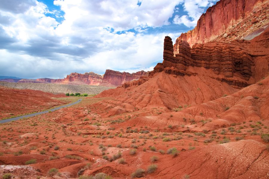
There are two free campgrounds right in Capitol Reef National Park (managed by the National Park Service): Cedar Mesa Campground, and Cathedral Valley Campground.
Cedar Mesa Campground
- Elevation: 5,500 ft
- Distance: 30 miles
- Open: Year-round
- Sites: 5 | first-come, first-served
- Fee: FREE
- Amenities: Vault toilet, picnic table, fire ring. NO WATER.
Cedar Mesa Campground is a remote, primitive campground set in desert scenery along the Notom-Bullfrog dirt road in the park’s southern section, about 1 hour and 20 minutes from the Visitor Center. It’s peaceful and scenic, and a great base for hiking the highly rated Red Canyon Trail (5.6 miles; easy to moderate). There is no water or trash removal, and the campground is best suited for tents and small trailers. The final 10 miles are dirt and washboard, usually passable in 2WD, though high clearance may be helpful. Current road conditions can be checked at 435-425-3791 (press #1, then #4).
GPS: 38.0073, -111.0845
Cathedral Valley Campground
- Elevation: 7,000 ft
- Distance: 49 miles
- Open: Year-round
- Sites: 6 | first-come, first-served
- Fee: FREE
- Amenities: Vault toilet, picnic table, fire ring. NO WATER.
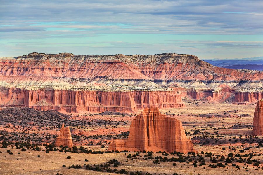
Cathedral Valley Campground is located in the park’s remote northern section near the iconic Cathedral Valley viewpoint, about 1.5 hours from the Visitor Center. Set among pinyon and juniper trees in the foothills of Thousand Lake Mountain, it offers a quiet, scenic camping experience. There is no water or trash service, and high-clearance 4WD is often required to access the campground, particularly after storms. Most visitors find the route through Fishlake National Forest to be the easiest (see the map at the end of the post for route options.)
GPS: 38.4743, -111.3670
Free dispersed camping near Capitol Reef National Park
For those comfortable with true boondocking, BLM land (BLM stands for Bureau of Land Management) around Capitol Reef Country offers some of the best free camping in south-central Utah. You’ll find dispersed sites both east and west of the park along Highway 24, plus a developed BLM campground about an hour north at Temple Mountain, near Goblin Valley and Grand Staircase-Escalante National Monument.
Before you go:
There’s no maintenance crew — just us campers trying not to ruin a good thing. Public lands close every year due to littering and misuse, so please camp responsibly.
Quick reminders:
- Camp on existing sites when possible.
- Follow posted rules and fire restrictions.
- Pack out all trash (yes, even toilet paper).
- Leave your site cleaner than you found it.
- Stay limit: 14 days in a 28-day period.
- Not every dirt pullout is legal camping, even if it looks well used.
How to verify you’re on public land:
- Use the BLM land boundary map (yellow areas indicate BLM land).
- Stop by the Henry Mountains Field Station (Hanksville, UT) for up-to-date maps and current fire restrictions.
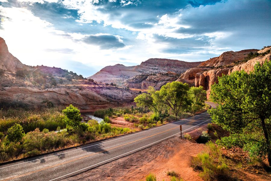
Free BLM sites near Capitol Reef National Park are all first-come, first-served and open year-round. Your best spot will depend on your setup and comfort level. True dispersed camping means no water, no hookups, no trash service, and usually no toilets, so come prepared.
👉 See the map below for exact locations.
- #1 (6.5 mi west): Porta potties, lots of spots, can be windy | Elevation: 6,400 ft | GPS: 38.3267, -111.3642
- #2 (7 mi west): No amenities | Elevation: 6,400 ft | GPS: 38.3250, -111.3724 |
- #3 (9.5 mi east): Near Fremont River, plenty of space, vault toilets 0.5 mi up the road | Elevation: 5,100 ft | GPS: 38.2852, -111.1183
- #4 (9.5 mi east): Large area, often windy, vault toilets 0.5 mi up the road; easy-to-miss spot | Elevation: 5,200 ft | GPS: 38.2776, -111.1308
- #5/6 (11 mi east): Pleasant Creek pullouts, no amenities | Elevation: ~5,100 ft | GPS #5: 38.2563, -111.1249 | GPS #6: 38.2576, -111.1199
- #7 (64 mi north): Temple Mountain Campground, a free BLM campground near historic mining ruins – easy access, suitable for tents and large RVs, vault toilets, no water or trash service. Not ideal for daily park visits but great for a quiet, off-the-beaten-path stay. Elevation: 5,440 ft | GPS: 38.6678, -110.6851
Capitol Reef National Park camping: Map
Final thoughts
No matter your camping style — tent, van, or RV, with amenities or completely off the grid — Capitol Reef offers something for everyone. Whether you score a site at Fruita Campground or find your own serene escape at other local campgrounds or on nearby BLM land, your perfect Capitol Reef National Park camping adventure is just a reservation (or a drive) away.

Hi, I’m Marketa!
Mom of two, Malinois wrangler, and the voice behind this blog. I share places worth the detour across the U.S., from remote backroads to favorite Chicago-area finds. Always chasing good views, great memories, and dog-friendly stops. More about us →


