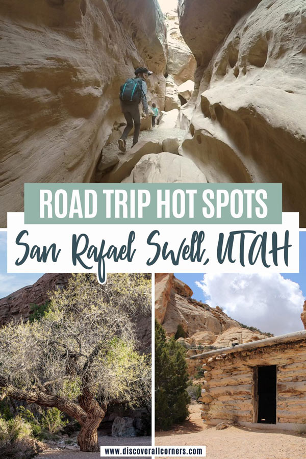
Nestled amidst the rugged splendor of the American Southwest lies a hidden gem waiting to be explored: the San Rafael Swell. Located in Emery County in the heart of east-central Utah, this captivating region offers an array of activities for outdoor enthusiasts seeking adventure, solitude, and a taste of unspoiled raw wilderness.
Below are some of the area’s gems we’ve explored thus far with several options for your San Rafael Swell to-do list whether you’re a seasoned explorer or a casual traveler, followed by a few crucial must-knows about visiting the San Rafael Swell for an unforgettable & safe trip!
All activities on this list are family-friendly and dog-friendly.
Visiting the San Rafael Swell with pets? It’s best to keep them from any type of a water source (scroll down for details).

Best things to do in the San Rafael Swell, Utah
- Most of the following Utah hidden gems are concentrated in the southern section of the San Rafael Swell, with a few located in the central section that surrounds Interstate 70.
- Some have easy access (suitable for Jeeps and RVs alike), and a few are off-the-beaten-path and require a certain amount of planning and effort to get to, in addition to an appropriate vehicle.
Insider tip: The Temple Mountain area in the southern section of the Swell (San Rafael Reef) offers free camping in a great location with easy access AND toilets!

Little Wild Horse Canyon
Hiking trail
Classic Utah slot canyons! Easy access and suitable for hikers of all levels. Read more…
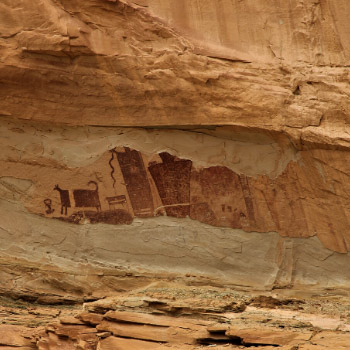
Temple Mountain Panel
Point of interest
A road stop featuring a rock art panel with some of the largest pictographs in Utah. Read more…
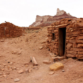
Temple Mountain Ruins
Point of interest
Mining ruins – crumbling structures and artifacts left over from the uranium rush era. Read more…
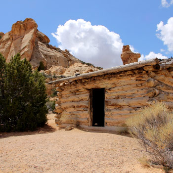
Swasey Cabin
Point of interest
An old cabin used by the members of the Swasey family and other cowboys. Read more…
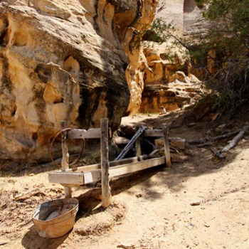
Icebox Foot Trail
Hiking trail
A short path to a place where the cowboys used to keep their perishables fresh. Read more…
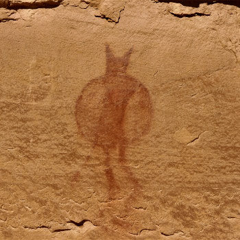
Lone Warrior Panel
Point of interest
Ancient pictograph panel with a single image in a picturesque setting. Read more…

Head of Sinbad Rock Art
Point of interest
One-of-a-kind pictograph panel with vivid ancient paintings in a secluded area. Read more…
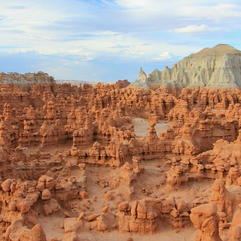
Goblin Valley State Park
Hiking, Scenic views
An otherworldly desert wonderland with unique rock formations known as “hoodoos.”

Lucky Strike Mine
Point of interest
A picturesque ghost town with cabins and mining relics strewn about. Read more…
A few more ideas & next up on our San Rafael Swell bucket list:
- Buckhorn Wash Pictograph Panel (Buckhorn Draw)
- Wedge Overlook (spectacular views of the San Rafael River and Utah’s Little Grand Canyon)
- Ding and Dang Canyons (slot canyons)

This website uses referral links. Please read our disclosure policy for more information.
Trip planning & FAQ about visiting the San Rafael Swell
- Location
- Access
- Fees/permits
- Best time to visit
- Visiting with pets
- Camping information
- Trip planning & safety
Location
The San Rafael Swell spans between the towns Price and Hanksville north to south, and Green River and Emery east to west, covering an area approximately 40 miles wide and 75 miles long.
Interstate 70 cuts through the midsection of the Swell and splits the area into northern and southern sections.
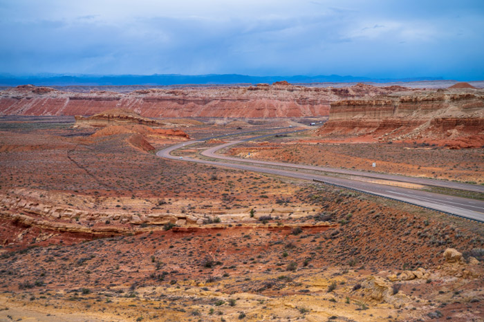
The southern flank of the San Rafael Swell lies in a relatively close proximity to many southern Utah national parks. In fact, the Swell’s southern edge is bordered by the northernmost remote part of Capitol Reef National Park.
Access
Access to different parts of the Swell is made through a network of primitive back roads usually via I-70, and Highway 24 for the southern section. Travel to the northern section can also be made via Highway 10 from the west, or US-6/191 from the east.
Most of the vehicle routes through the San Rafael Swell are old mining roads built between the late 1800s to mid-1900s. Some are passable in most regular vehicles (weather allowing), some are a bit on the rough side but doable as long as they’re dry, and some require the use of a high-clearance 4WD.
You’ll be able to get to many places on this list without an off-road car.
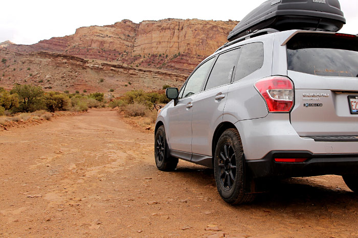
No matter the vehicle you have, keep in mind that the dirt roads in the San Rafael Swell can be difficult to navigate during storms or downright impassable as they become extremely muddy when wet.
Fees & permits
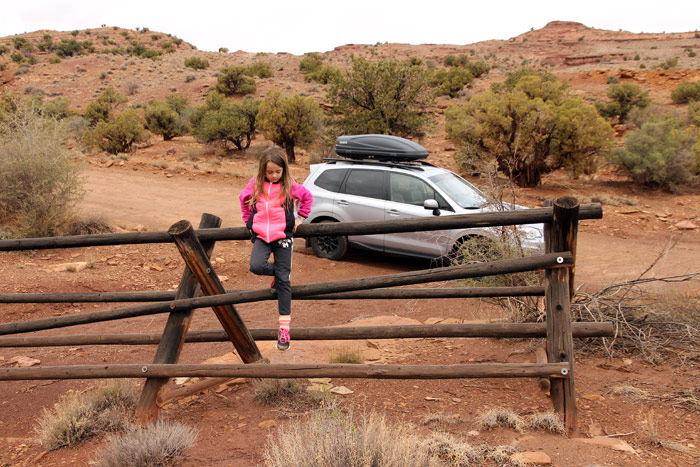
The San Rafael Swell is an area managed by BLM (Bureau of Land Management). It is public land, and you are free to explore at your will. There is no fee to enter, and no permits are required for recreational use for individuals and small groups.
Best time to visit
Spring and fall are the most popular times to visit the San Rafael Swell. Temperatures are usually moderate, although random snow sprinkles and hail storms can creep up at any time.
Planning a trip soon? Check the weather forecast for the San Rafael Swell area here.
Summer days can be uncomfortably hot, and the risk of flash flooding increases.
Expect some snow and ice in the winter and temperatures dipping to not so balmy single digits. On the upside, winters bring fewer visitors to the area and are the perfect time of the year to venture out here for some real solitude.
Visiting with pets
The San Rafael Swell is a dog-friendly area.
If you do visit the Swell with pets, it’s probably best to play it safe and avoid letting them drink from any natural water source, including rainwater that has accumulated on various surfaces. All water sources in the San Rafael Swell have the potential for contamination with radioactive elements from the uranium ore in the environment and radon present in the air and dust.
As for wildlife that could potentially pose a threat to your dog, there are mountain lions and coyotes living here, birds of prey, rattlesnakes, and the occasional porcupine. (All we encountered were soaring vultures.)
Camping
The San Rafael Swell Recreation Area offers opportunities for wild camping and free camping on top of paid campsites (amenities vary), so there are many options to choose from depending on your camping style and preferences.
Can you camp anywhere in the San Rafael Swell? The San Rafael Swell is situated on BLM land and free dispersed camping (boondocking) is permitted in most of its areas. (Try to use already established sites to minimize human impact when choosing a campsite.)
For camping with amenities, the Goblin Valley State Park campground at the southern end of the San Rafael Swell is an excellent (and popular – book early!) option.
There are also primitive first-come-first-serve campgrounds throughout the San Rafael Swell maintained by the BLM – both free and fee-based. Pit toilets are provided, but there is no water or trash removal available in these locations. (Two FREE camping areas at Temple Mountain have easy access and are in prime location for visiting the south section of the Swell!)
Safety & planning
- Pack plenty of supplies, make sure that your vehicle is in good working condition, and fill up your tank.
There are no services in the San Rafael Swell. Hanksville, Green River, Castle Dale, and Price provide the nearest services. (Hanksville is a very small town with limited options for stocking up or dining, especially during the winter months.)
- Have extra supplies and bring a reliable map of the area if you’re venturing off pavement.
It takes navigation skills and a good map to safely explore the back roads of the San Rafael Swell. Some areas are not signed well. Cell service in the Swell is slim to none, and it can be hours and sometimes days before you run into someone else in the more remote areas should you need assistance.
A proper map like this one is your best bet, but even one of the free maps of this region from the Utah Welcome Center can be a godsend. It saved our butts when we accidentally found ourselves deep in a remote canyon with a flash flood in the making.
- Be cautious around abandoned mines.
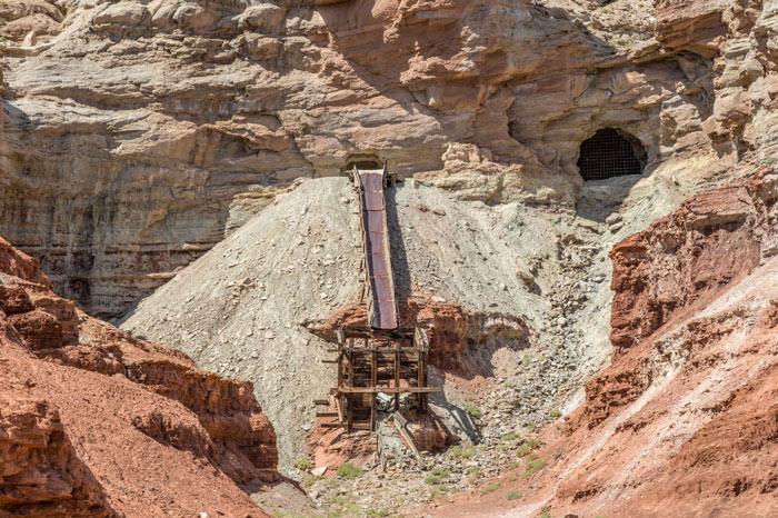
Exercise extreme caution if you come across old mines while exploring the San Rafael Swell. Not only can they be structurally unstable, being once used to mine uranium they may emit harmful gases and contain radioactive waste products.
It’s best not to sift through any waste piles either (mounds of discarded rock in close proximity to mines) due to the potential presence of radioactive elements.
Have an awesome time exploring the amazing but unforgivable terrain of Utah’s San Rafael Swell. Discover all corners and make memories!