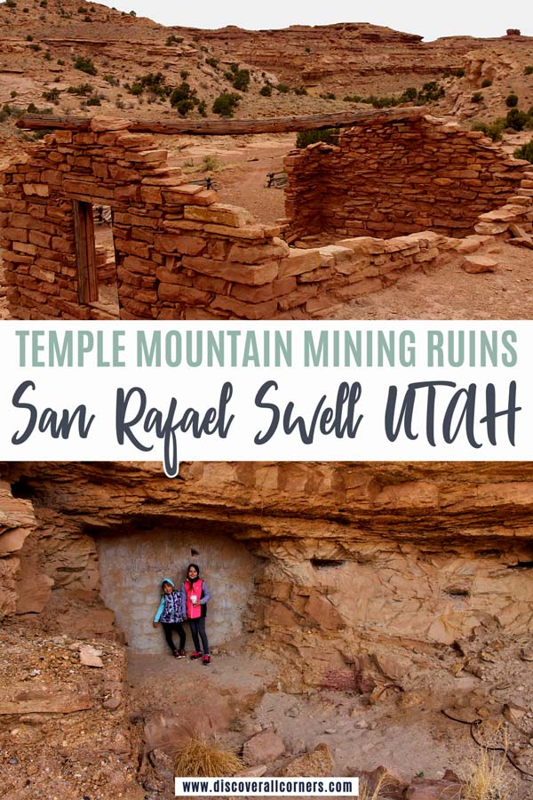
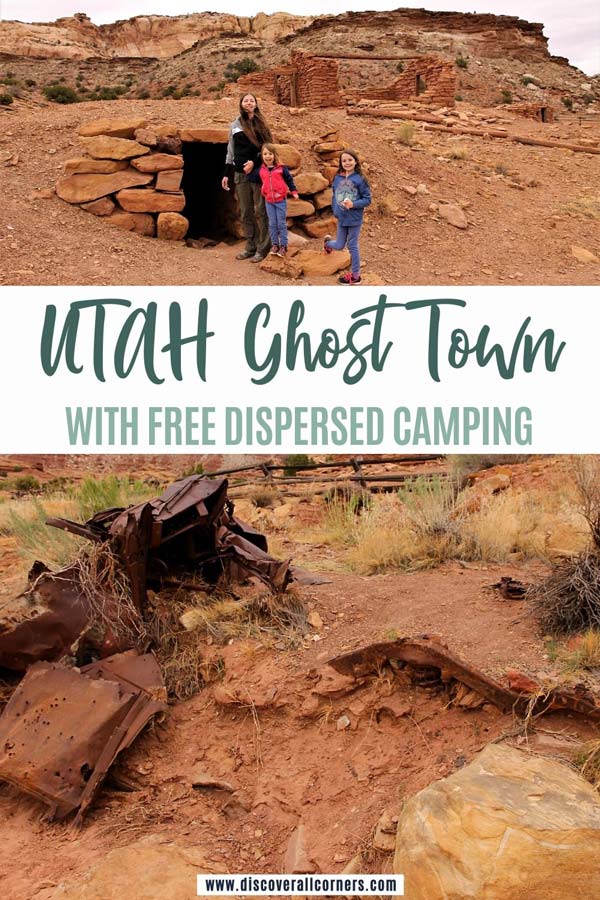
Temple Mountain is a point of interest in the southeastern section of the San Rafael Swell, a vast geologic feature in east-central Utah. Aside from being the highest point in this pocket of the Swell and a popular destination for off-road explorers, mountain bikers, and rock climbers, the iconic mountain has an interesting mining history. Unlike many other abandoned uranium mines scattered throughout the San Rafael Swell, the cluster at Temple Mountain is easily accessible. Stop by for scenic views if you’re headed to the San Rafael Swell or visiting the nearby Goblin Valley State Park, and see a few remaining ruins from the mining era!
Dog-friendly: Yes
Fee: No

Temple Mountain mining history
First claims were staked at Temple Mountain as early as 1898, but mining here didn’t pick up until nearly two decades later when it became easier to extract radium from the uranium ore.
There were two mining booms here in this section of the San Rafael Swell – first minor one between 1914 and 1920, followed by a more significant mining operation that lasted from 1948 to 1956.

Temple Mountain ghost town: old mines and ruins
Good to know: the Temple Mountain ghost town is adjacent to a free dispersed camping area with jaw-dropping views + pit toilets(!). Other than that, dispersed camping is permitted throughout the San Rafael Swell, so feel free to find your own spot to camp. (Scroll down for more things to do in the area.)
Many of the old mine entrances are immediately visible along the upper section of the mountain. Most (if not all) of the abandoned mines here at Temple Mountain have been sealed off or securely gated for public safety since uranium mines pose a variety of danger elements besides the risk of physical harm, so don’t make any mine exploration plans for this area. (But also… no monsters coming out at night if you’re camping here. Phew!)
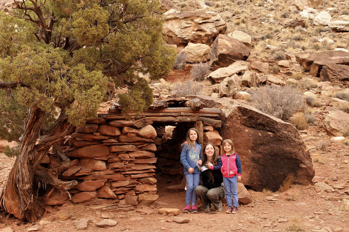
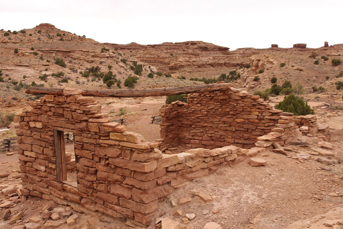
Remnants of several structures left over from the mining era mark the landscape along the base of the mountain just a short walk north of the campground parking lot. A few are clustered in a fenced area.
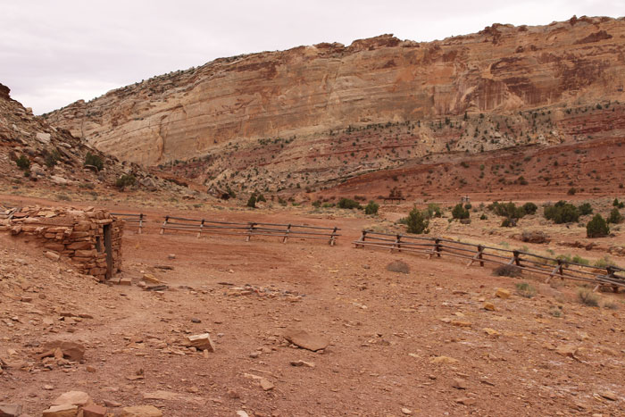

Another stone cabin in a significantly better shape sits closer to the mountain.
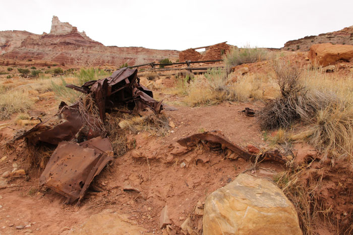
The ground is littered with all kinds of mining relics – weathered mining equipment, vehicle remains, shattered glass bottles and rusted out old tin cans.
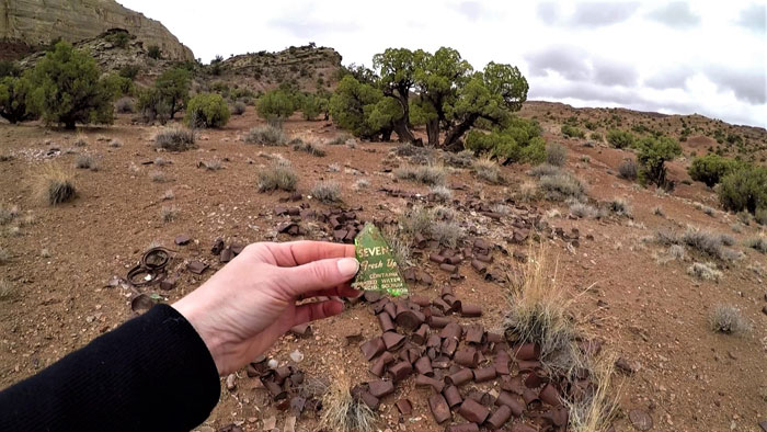
You can find more interesting debris from the mining era in the old dump sites scattered around the area. Among the rubble we recognized an old ink pen, a rubber comb, and a bunch of other discernible personal items. Gross, you say? The husband nods in agreement, and I could care less. #history
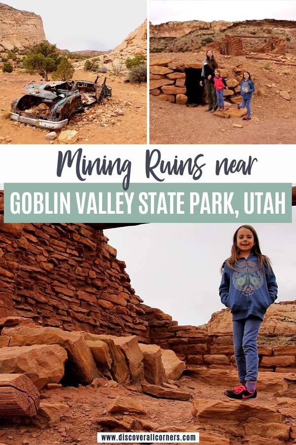
If you have time you can traverse various parts of the mountain using the many ATV trails that crisscross Temple Mountain and its base, many of which are the original mining roads. We have only poked around a little, but a quick glance over Google maps in satellite view reveals several structural remains atop Temple Mountain if you zoom in close enough.
Temple Mountain & Madame Curie
Show of hands – who remembers learning about Madame Marie Curie at school?
The Polish-born French physicist that had isolated radium from the uranium ore and became famous for her research in the radioactive substances?
The first woman ever to win the Nobel Prize?

It turns out that some of the uranium ore mined at Temple Mountain was sent to France to none other than Madame Curie for her research. Supposedly she had an eye for the best quality ore, and Temple Mountain fit the bill.
Rumor has it (and some historic sources indicate) that Madame Curie visited Temple Mountain during the initial mining boom to see where uranium ore of such high quality was coming from. During that visit she is said to have stayed in one of the stone cabins that are now part of the fenced-in complex.
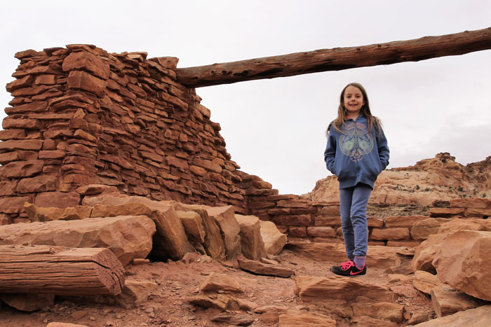
I’m no hardcore science geek, but the idea of Madame Curie once pacing around the very same grounds is pretty freaking rad!
Things to do nearby:
(listed by distance from this Utah ghost town)
- Temple Mountain Wash Pictograph Panel (1 mile)
- Goblin Valley State Park (9 miles)
- Little Wild Horse Canyon (13 miles)
- Swasey Cabin + Icebox Foot Trail (21-60 miles, depends on route)
- Lone Warrior Pictograph (near Swasey Cabin)
- Lucky Strike Mine (23 miles, 4×4 vehicle recommended)
- Head of Sinbad (Locomotive Point) Pictographs (24-60 miles, need 4×4/high clearance)
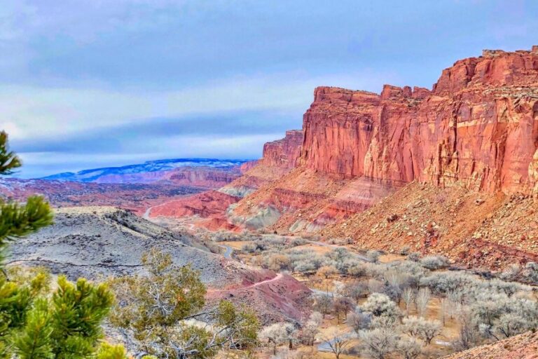
- Capitol Reef National Park (64 miles)
Know before you go:
- Basics
Pit toilets on site. NO trash collection. NO water. This is public land, looked over by the Bureau of Land Management (BLM). Dispersed camping is allowed; details for FREE camping at Temple Mountain here. The area is dog-friendly, but keep an eye on broken glass on the ground that could injure your dog.
- Safety
Uranium is a radioactive element. The highest potential for radiation exposure from abandoned uranium mines would be inside the mines due to radon gas, a radioactive decay product of uranium. For your safety, don’t enter any mines you come across that haven’t been gated or sealed shut. Don’t poke around any waste-rock piles if you do happen to find some in the more remote parts of Temple Mountain or elsewhere in the San Rafael Swell as they could contain radioactive nuclides, albeit in low levels. Wash hands before eating after handling any artifacts found in and near abandoned uranium mines.
- Access
The Temple Mountain ghost town is easily accessible from Utah Highway 24. From the junction with UT-24 it’s only 7 miles to the parking lot. The last few miles are on a graded dirt road that’s in a good shape and suitable for most vehicles, including RVs. Occasional flash flooding can sweep over the road and make access difficult or impossible.
- Directions
Follow Temple Mountain Road from Hwy 24 (roughly halfway between I-70 and Hanksville, Utah) towards Goblin Valley State Park. Approx. 5 miles later, continue straight ahead past the turnoff (left) to the state park for 2 more miles until you see a large parking lot on the right-hand side.